Services
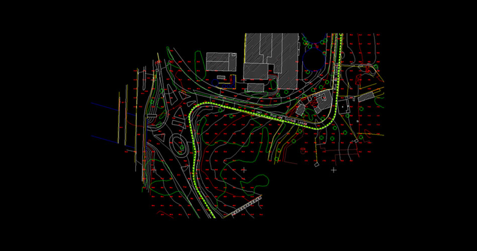
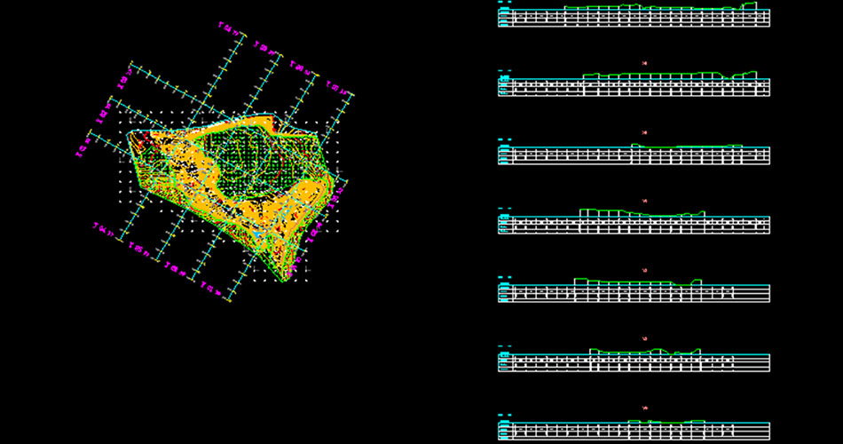


Mapping and Bathymetry
Cartography it’s the gathers that a set of scientific, technical and artistic operations that combined and based on the results of direct observations or analysis of documentation, enables the creation of maps, letters and other forms of expression or representation of objects, elements, phenomena and physical or socioeconomic environments, as well as the land use.
We are prepared to provide the following services:
- All scales mapping projects (from 1:500 to 1:10000)
- Aerial Photography
- Digital Mapping
- LiDAR
- Parcel Mapping
- Digital Orthophotography and related products
- Drone and UAV Mapping